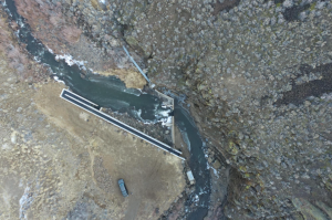
Titled “Where Water Flows: A Future for Fish and People”, the StoryMap highlights more than a decade of conservation work focused on removing and modifying fish passage barriers in the Warner Basin. Thanks to partners like the Resources Legacy Fund (Open Rivers Fund), Lake County Umbrella Watershed Council, Oregon Watershed Enhancement Board, Oregon Department of Fish and Wildlife, Adel Water District, Desert Fish Habitat Partnership, and many others, these projects have made transformational improvements to fish passage and connectivity. Around $7.2 million in funding, including $700,000 from Open Rivers Fund and $189,000 from the National Fish Habitat Partnership, has resulted in 9 diversions and barriers being removed or improved, reconnecting 40 miles of stream habitat for native fish migration, habitat, and spawning, while still meeting agricultural needs. Another 4 diversions are scheduled to be removed later this year.
The StoryMap combines interactive maps, restoration project profiles, photography, and historical context to show how collaborative conservation restores stream connectivity, improves water infrastructure, and supports local communities.